 Here here is a nice map of Chacala, showing the locations of many of the rentals, etc. Jared Hooper is the creator of this map, and also maps of other Mexican towns, including La Penita, and I thin, Guayabitos.
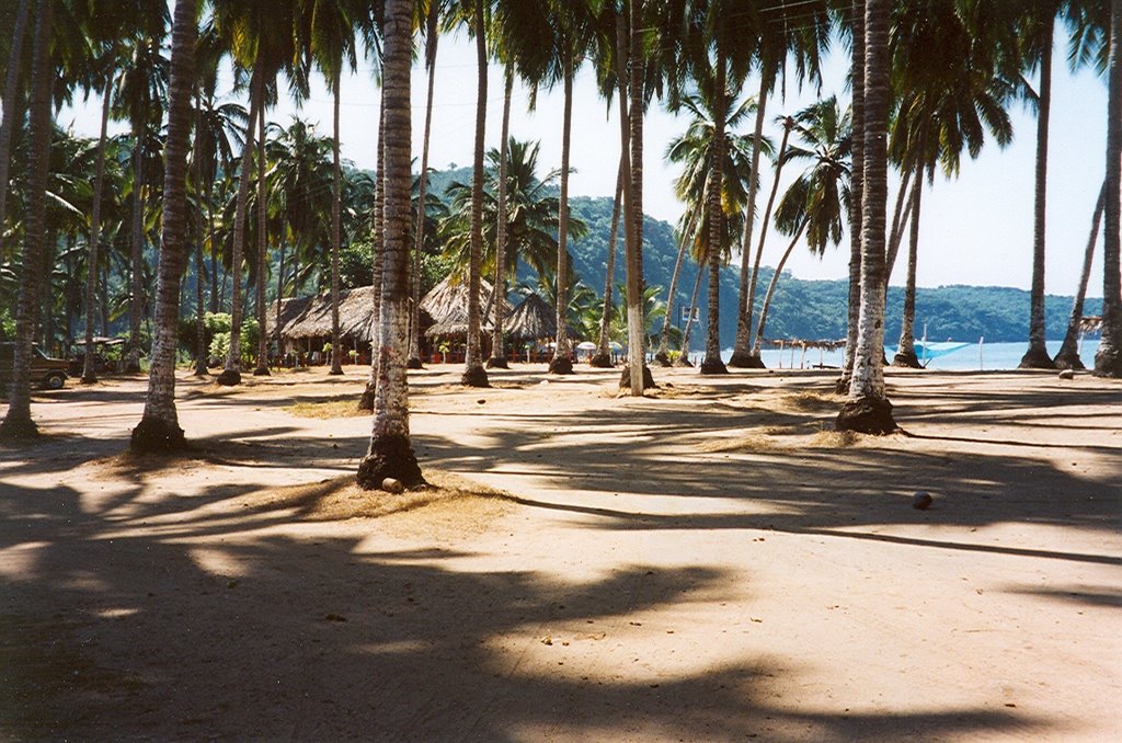
This is a view from the palm grove where the RV's park in the winter and campers from all over Mexico camp the rest of the year. The palapa to the left is a previous version (pre Hurricane Kenna) of one of the beach restaurants.
No comments:
Post a Comment